
AVON UAS
H2Ohio Extension for Crops (2023)
H2Ohio extended the cover crop application deadline to November 15th 2023. Let us help you get those last minute seeds applied. Contact us for more details at 440-895-7700
FARMING FROM A DIFFERENT
POINT OF VIEW
Precision Agriculture
This service includes croup scouting, crop health scanning using near infrared (NDVI, NDRE), yield projections via row based counting and canopy cover density, and more advanced algorithms as requested.
Utilize the crop health data to create chemical prescription maps for use in gps guided ground units or drone for precision application. Save money on chemical input costs by applying only where needed (where appropriate).
Leverage thermal sensor data to verify drain tile placement and find areas of water pooling.
Aerial Mapping
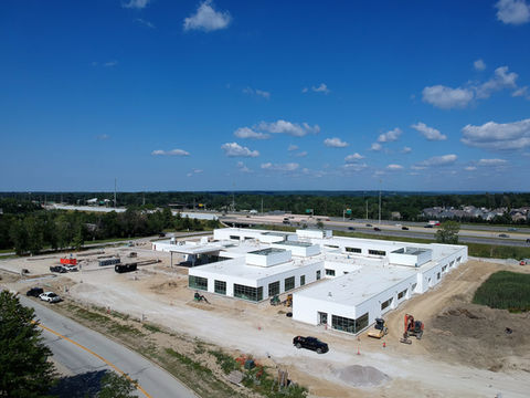
This service includes 2D and 3D geo-referenced maps that can be used for processes such as volumetrics and area measurements. Created maps can be used to calculate estimates of how large a pile of material is so you know how big of a truck it will take to haul it away. Or, determine how big a hole is that you need to fill.
3D maps can also be used for elevation studies. Find high or low spots and validate your water management / run-off plan.
Use a home scan to perform roof measurements to determine materials estimates.
Aerial Chemical Application and Seeding
We have added an FAA Part 137 Operating Certificate allowing us to dispense agricultural chemicals from the air. This can be applied to an entire field or as spot treatments. If your crop is at a growth stage where you can no longer get access with a ground rig or the surface conditions are not permissive, let us help you get the treatments applied when they are needed.
Seeding cover crops, whether intercropping or on bare ground can be automated with a drone as well. Let us help you get your cover crops down and free up your time for other important tasks.


02
ABOUT
WE TAKE PICTURES FROM ABOVE
Leveraging the Amazing Potential of Drones to Maximize Yield and Reduce Costs
Agricultural Scanning is not new technology. Delivering it in nearly real time is. By scanning your crops at critical times in the growing season defined by you, information is the most relevant and allows you to act quickly to stressed plants, weed pressure, precise fertilizer prescriptions and run-off problems.
Let Avon UAS help you maximize your yield and provide you timely information to potentially reduce your fertilizer and other treatment materials costs. Before the growing season, we can provide elevation scans to help you assess your field readiness for proper drainage during the growing season.


